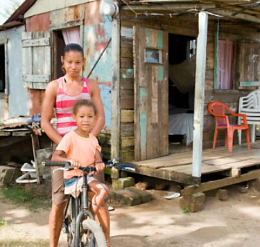
 | I just talked to a classmate who applied for and was approved to spend their winter break abroad. They will spend three short weeks working with a community in Central America to help improve their farming conditions. I guess this is the fifth year the University of Idaho has sent students down there. I wish I had known about this opportunity sooner. I have decided to apply for this next Winter (2013). If all goes well, I should be just starting my masters then. My summer camp experience made me think that I would like to pursue becoming a faculty at a university ... to do research - yes, but also to teach others and pass on my knowledge and excitement for learning onto the next generation of learners. |
|
0 Comments
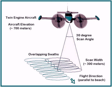 LIDAR is similar to radar technology, which uses radio waves, a form of electromagnetic radiation that is not in the visible spectrum. The range to an object is determined by measuring the time delay between transmission of a pulse and detection of the reflected signal. LIDAR technology has applications in Archaeology, Geography, Geology, Geomorphology, Seismology, remote sensing and many more areas. Light detection and ranging (LIDAR), also known as airborne laser scanning (ALS), is an emerging remote sensing technology with promising potential to assisting mapping, monitoring, and assessment of forest resources. Compared to traditional analog or digital passive optical remote sensing, LIDAR offers tangible advantages, including nearly perfect registration of spatially distributed data and the ability to penetrate the vertical profile of a forest canopy and quantify its structure. Applications of LIDAR range from archaeology, to atmospheric studies, bathymetry, etc. LIDAR has also found many applications in forestry. Canopy heights, biomass measurements, and leaf area can all be studied using airborne LIDAR systems. Similarly, LIDAR is also used by many industries, including Energy and Railroad, and the Department of Transportation as a faster way of surveying. Topographic maps can also be generated readily from LIDAR, including for recreational use such as in the production of orienteering maps. 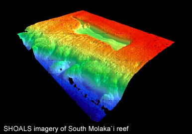 Text Source: http://wiki.gis.com/wiki/index.php/LIDAR
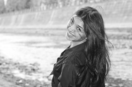
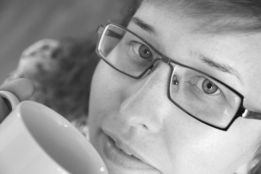
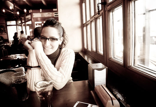
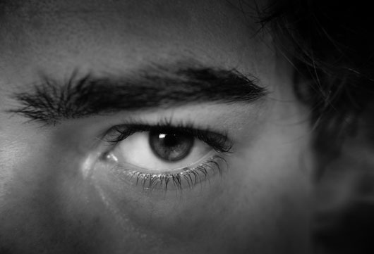
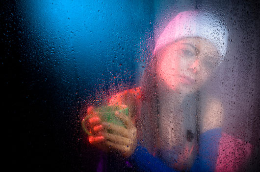
Image source: http://water.usgs.gov/osw/gps/GPS_projects.html 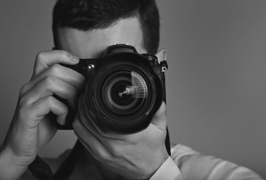 I just finished my photography class that I took as an elective this fall. I had so much fun in this class and learned a lot about the art of taking portraits. I learned how to help the subject relax so that their 'special sparkle' could be captured on film. I learned how to evaluate the images taken and feel confident in my final selection for the 'best image' from a photo shoot. Prior to this class, I stuck to black and white shots whenever possible—finding it must easier to express emotion with an image without the distraction of color. But my last image of the class required my use of color. What I found was that I loved the final result. Thus, I plan to experiment more with color in the coming year to see if I can make it work for me. I want to thank my friends who were great sports in letting me use them for my photo shoot subjects.
|
AuthorHi, I'm Felix. Here you'll find examples of my work and play. Categories
All
Archives
December 2012
|


 RSS Feed